Vincemedia.com
News
Sports
Helpful Links
Other Feeds
Videos
Forecast
Fronts
Prep Outlook
Temps
Local Weather
Radars
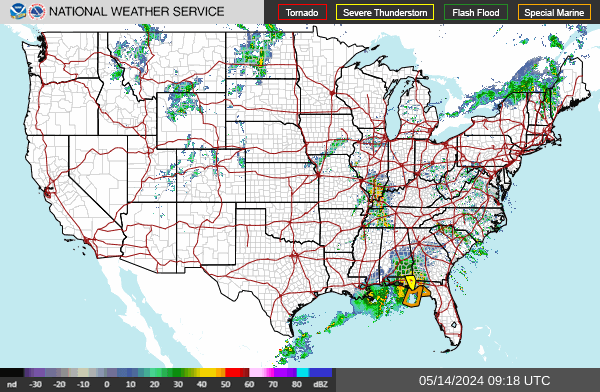
National Radar
Northeast
Northern Rockies
Pacific northwest
Pacific Southwest
Southeast
Southern Mississippi valley
Southern Plains
Southern Rockies
Upper Mississippi Valley
Satellites
Alaska
Hawaii
Goes East
Goes West
Weather Hazards
Winter Wx
Snowfall: Day 1
Snowfall: Day 2
Snowfall: Day 3
Ice: Day 1
Ice: Day 2
Ice: Day 3
Severe Wx
National Alerts
National Severe Weather Outlook
Mesoscale Discussions
Severe Weather Reports
Watches
Storm Reports
Hurricanes
Fire outlook
By State: Alerts
By State: Flooding
Links
You are here:
Home
Homepage
Details
Written by:
Administrator
Category:
Homepage
Published: 06 February 2024
Hits: 1192
Welcome to vincemedia.com Weather
Forecast Weather
National Radar