Fire Outlook
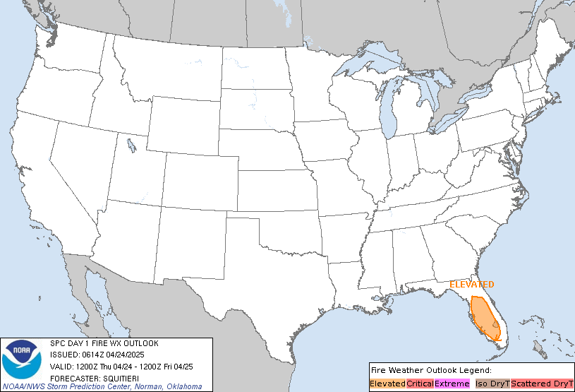
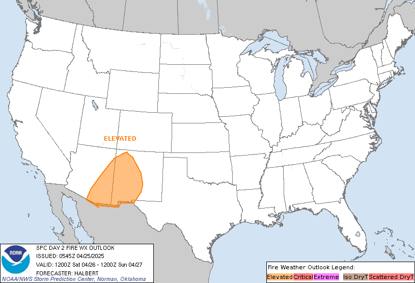
| Today's Fire outlook: | Tomorrows Fire Forecast: |
 |
|
Storm Prediction Center

-
SPC Day 3-8 Fire Weather Outlook
SPC Day 3-8 Fire Weather Outlook
Day 3-8 Fire Weather Outlook
NWS Storm Prediction Center Norman OK
0359 PM CST Fri Jan 17 2025

Valid 191200Z - 251200Z

...Southern California...
Within the base of a highly amplified, positive-tilt large-scale
trough over the West, an embedded shortwave trough will track
southeastward across the Southwest into the southern Rockies from
Day 4/Monday into Day 5/Tuesday. At the same time, an amplified
upper ridge will build over the eastern Pacific, favoring
strengthening surface high pressure over the Intermountain West.
This pattern will result in a strengthening offshore pressure
gradient across southern CA (-6 to -8 mb LAX-DAG gradient), with
moderate midlevel support across the area. Given reasonably good
agreement in the development of single-digit to lower teens RH and
strong/gusty east-northeasterly surface winds, 70-percent Critical
probabilities have been introduced for the wind-prone Santa Ana
corridor (much of Ventura County, northern/western Los Angeles
County, and portions of northern San Bernardino County) for Day
4/Monday into Day 5/Tuesday.

From Day 6/Wednesday into Day 7/Thursday, another shortwave trough
should track southeastward across the Great Basin and Southwest,
while an upstream ridge builds over the eastern Pacific. While
noteworthy differences are evident among the medium-range guidance
regarding this overall evolution, current indications are that
surface high pressure will once again strengthen over the
Intermountain West, favoring the potential for another dry offshore
wind event across southern CA. 40-percent Critical probabilities
have been added for Day 6/Wednesday into Day 7/Thursday, and higher
probabilities could eventually be needed as the details become more
clear.

..Weinman.. 01/17/2025

...Please see www.spc.noaa.gov/fire for graphic product...
Read more
